Overland Park Foundation Risk Profile
Overland Park Foundation Risk — Johnson County Clay | FIA
Overland Park's Wymore-Ladoga clay — 60 to 80 percent clay content with a "very high" shrink-swell rating — drives the primary foundation risk across the city's seven-decade housing stock. Northern OP's 1950s block basements face the highest cumulative exposure, while eastern Overland Park adds a secondary threat from Peorian loess deposits up to 17 feet thick that can collapse under saturation.
What Soil Conditions Create Foundation Risk in Overland Park — and Are There Two Separate Problems?
Overland Park sits on the Wymore-Ladoga soil complex, the dominant formation across Johnson County, with 60 to 80 percent clay content classified by the USDA as "very high" shrink-swell and Hydrologic Soil Group D. Group D is the highest runoff category in the USDA classification system, meaning the soil has an extremely low infiltration rate — when it rains in Overland Park, water pools at the surface rather than absorbing quickly, then slowly saturates the clay beneath. That saturation is what drives the expansion forces that push against basement walls, and the subsequent drought-driven contraction is what pulls support from footings. For a full explanation of how expansive clay behaves at the molecular level, the foundation science page covers the underlying mechanics.
What makes Overland Park distinct from other Johnson County suburbs is a secondary soil concern confined largely to its eastern portions: Peorian loess deposits up to 17 feet thick. Peorian loess is Wisconsinan-age windblown silt — deposited roughly 12,000 to 20,000 years ago as glacial outwash winds crossed the landscape. Unlike the Wymore-Ladoga clay, loess does not have the same shrink-swell behavior. Its risk profile is different: loess can collapse under saturation, compressing suddenly rather than expanding seasonally. Homes in eastern Overland Park, particularly those closer to the Johnson-Jackson County boundary, may sit on soil that can produce rapid, non-seasonal settlement under sustained moisture loading. This is a separate failure mode from the clay shrink-swell cycle, and it is specific to eastern OP — not a general Overland Park condition.
The creek systems crossing Overland Park create a third layer of localized risk by amplifying both soil problems. Indian Creek runs east through central Overland Park, passing through the residential corridor near the 95th to 119th Street development band before crossing into Kansas City, Missouri. Tomahawk Creek drains the southern residential areas near 135th Street and beyond. Coffee Creek and Wolf Creek serve additional drainage basins across the city. Homes within the drainage corridors of any of these systems face elevated water table fluctuation, which intensifies clay expansion events and increases hydrostatic pressure against basement walls during wet periods. Creek proximity is not uniformly dangerous, but it is a meaningful risk multiplier on top of the baseline Wymore-Ladoga clay behavior.
Overland Park's annual rainfall of 42 inches, with a May peak of 5.7 inches and a January low of 1.5 inches, creates exactly the kind of wet-dry swing that maximizes shrink-swell damage. The four-to-one ratio between the wettest and driest months means the clay cycles through near-maximum expansion and near-maximum contraction within a single calendar year, year after year. Combined with a 36-inch frost depth, Overland Park's climate exerts three distinct pressure regimes on foundations: spring clay expansion, summer-fall contraction, and winter freeze-thaw at depth.
Key soil risk factors
- Wymore-Ladoga clay (60-80% clay) Very high shrink-swell, Group D runoff — the most expansive soil classification in the USDA system
- Peorian loess in eastern OP Up to 17 feet of windblown silt that can collapse under saturation
- Creek drainage corridors Indian Creek and Tomahawk Creek amplify seasonal water table swings
- Annual rainfall: 42 inches May peak of 5.7 inches creates maximum clay expansion pressure
When Were Overland Park Homes Built — and Why Does Location Predict Foundation Type?
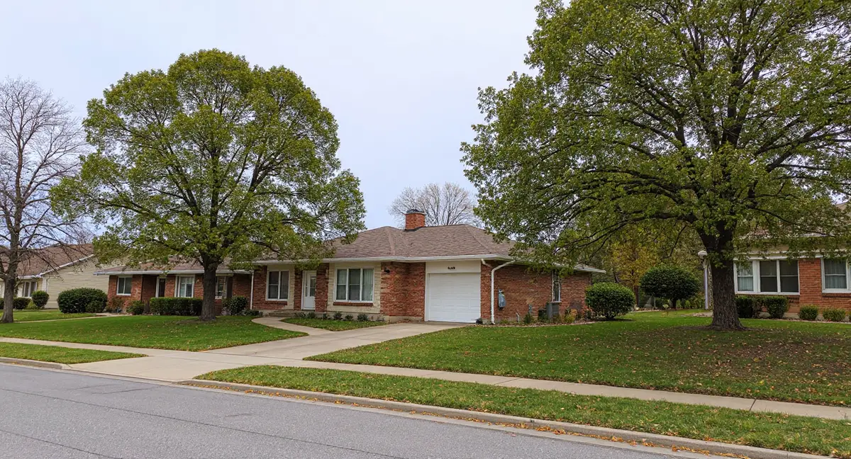
Overland Park's housing stock is unlike any other Johnson County suburb because the city's development spans seven consecutive decades, from the 1950s in the north to the 2010s in the south, creating a geography where you can predict the age and foundation type of a home by where it sits on the map. This north-to-south development gradient is the single most useful framework for understanding foundation risk in Overland Park.
Northern Overland Park, centered roughly on the 75th Street corridor, contains the city's oldest housing stock: 1950s and early 1960s ranch homes and Cape Cods built when Overland Park was transitioning from agricultural land to suburban development. These homes predominantly have concrete block basements — block walls laid in courses, with mortar joints that weaken over decades under lateral clay pressure. The stair-step crack pattern running diagonally through block mortar courses is the defining failure signature of this era. Homes in this northern zone have experienced 60 to 70 years of annual shrink-swell cycling against materials that were not engineered to withstand it indefinitely.
Central Overland Park, spanning roughly from 95th Street to 119th Street, developed during the 1970s and 1980s with split-levels and two-story homes on poured concrete basements. Poured concrete is meaningfully stronger than concrete block under lateral load — it has no mortar joints to separate and distributes pressure across a continuous wall rather than a stacked assembly. However, poured concrete walls in this era are now 40 to 55 years old, and they have absorbed several decades of the same shrink-swell cycling. The Indian Creek corridor runs directly through much of this development band, adding creek-proximity risk to the baseline clay risk for a subset of central OP homes.
Southern Overland Park, from 135th Street south toward the Stilwell area and beyond, represents the city's modern construction era: 1990s through 2010s homes on poured concrete walls and, in some newer developments, slab-on-grade foundations. These homes benefit from improved building codes, better soil compaction practices at construction, and poured concrete walls designed with contemporary load expectations. But modern construction on Wymore-Ladoga clay is not immune to foundation movement — it typically manifests within 10 to 20 years as the soil works against well-built walls through repeated seasonal cycling.
A 1958 ranch home near 75th Street in northern Overland Park has diagonal cracks running through basement wall mortar joints. What is the most likely cause?
Most Common Foundation Problems in Overland Park Homes
What to watch for
- Stair-step cracks in northern OP block basements Diagonal fractures following mortar joints — the defining failure signature of 1950s-1960s construction under lateral clay pressure
- Diagonal cracks from window/door corners in central OP Indicates differential settlement in 1970s-1980s poured concrete homes from uneven clay contraction
- Sloping floors across all eras Especially noticeable in 1950s ranch homes where shallow floor systems transmit settlement directly to living spaces
- Sticking doors and windows seasonally Often the first symptom noticed — worse in spring/summer near creek corridors due to amplified moisture swings
The most common structural concern in northern Overland Park's 1950s-1960s block basements is the stair-step crack — a diagonal fracture that follows the mortar joints between concrete block courses. These cracks indicate that lateral clay pressure or differential settlement has overcome the mortar bond. Northern OP homeowners should inspect block basement walls annually, particularly on the east and west sides, which tend to receive asymmetric sun exposure and dry at different rates.
In central Overland Park's 1970s-1980s poured concrete homes, diagonal cracks originating from window or door corners are the most frequent presenting symptom of differential settlement. When the Wymore-Ladoga clay contracts unevenly under different parts of the foundation, one corner or side of the footing drops faster than the rest. The frame racks in response, and the tension cracks at structural weak points like opening corners.
Sticking doors and windows caused by frame racking appear across all eras and are frequently the first symptom Overland Park homeowners notice. Creek-proximity homes face a compounding factor: seasonal water table changes near Indian Creek and Tomahawk Creek create larger moisture swings in the surrounding soil.
When Do Foundation Problems Get Worse in Overland Park?
The highest-risk window for Overland Park foundations is May through June, when Johnson County's average May rainfall of 5.7 inches saturates the Wymore-Ladoga clay to full expansion and generates peak lateral pressure against basement walls. This is when horizontal cracks are most likely to appear or widen in northern OP block basements.
The secondary risk window is August through September, when Johnson County's summer heat and low rainfall allow the clay to contract significantly, removing lateral and vertical support from footings. Settlement events happen during contraction cycles, not expansion cycles. Diagonal cracks and floor slopes that worsen over summer should be evaluated in September before the clay begins to rehydrate.
Winter brings a separate mechanism: freeze-thaw cycling at Overland Park's 36-inch frost depth. January's low of 1.5 inches of rainfall means winter soils are relatively dry — the freeze-thaw threat is crack propagation in existing damage, not new expansion events. March and April mark the transition back into the high-risk expansion phase, making early spring the best time to set baseline crack measurements.
How to Protect Your Overland Park Home's Foundation
Action items by housing era
- All homes: Manage surface drainage Downspout extensions 6+ feet out. Grade away 1 inch per foot for first 6 feet. Critical given Group D runoff.
- Northern OP block basements (pre-1965) Inspect mortar joints every spring and fall. Photograph diagonal stair-step patterns. Mark endpoints to detect widening.
- Central OP poured concrete (1970s-1980s) Check door/window operation seasonally. Monitor floor slope with a 4-foot level. Slope > 1 inch per 10 feet warrants evaluation.
- Creek-corridor homes Pay particular attention to sump pump function and discharge routing near Indian Creek or Tomahawk Creek.
- Southern OP newer construction Do not assume problem-free. Wymore-Ladoga clay generates stress within the first decade. Document early warning signs.
- Overland Park's Wymore-Ladoga clay (60-80% clay, Group D runoff) drives seasonal foundation stress across all neighborhoods, with May's 5.7-inch rainfall peak generating maximum lateral wall pressure.
- The north-to-south development gradient predicts foundation type: 1950s block basements in northern OP near 75th Street are highest risk, while southern OP's post-1990s poured concrete has less cumulative exposure.
- Eastern Overland Park faces a secondary risk from Peorian loess deposits up to 17 feet thick that can collapse under saturation — a separate failure mode from clay shrink-swell.
- Indian Creek and Tomahawk Creek corridors amplify soil moisture fluctuation, making creek-adjacent homes more susceptible to horizontal wall cracks and hydrostatic pressure.
Foundation Questions Overland Park Homeowners Ask
Is the clay soil in Overland Park bad for foundations?
Yes — Overland Park sits on the Wymore-Ladoga soil complex, classified by the USDA at 60 to 80 percent clay content with a 'very high' shrink-swell rating and Hydrologic Soil Group D, the highest runoff category. This clay expands dramatically when saturated by spring rains and contracts during summer drought, exerting seasonal forces against basement walls and footings that accumulate damage over time. Homes in northern and central Overland Park have faced these forces for 40 to 70 years, making the soil risk especially significant in those areas.
What type of foundation do most Overland Park homes have?
Foundation type in Overland Park correlates directly with location on the city's north-to-south development gradient. Homes built in northern Overland Park near 75th Street during the 1950s and 1960s predominantly have concrete block basements — the most vulnerable type to lateral clay pressure. Central Overland Park homes from the 1970s and 1980s typically have poured concrete basements, which are more resistant but not immune. Southern Overland Park homes built from the 1990s onward use poured concrete walls and, in some developments near Stilwell, slab-on-grade construction.
Does living near Indian Creek or Tomahawk Creek in Overland Park increase foundation risk?
Yes, proximity to Indian Creek and Tomahawk Creek meaningfully elevates foundation risk in Overland Park. Both creek corridors create zones where the water table fluctuates seasonally, amplifying the shrink-swell behavior of Wymore-Ladoga clay and adding hydrostatic pressure against basement walls during wet periods. Homes within a quarter mile of either creek drainage system should monitor for horizontal cracks in basement walls — the symptom most directly caused by lateral water and clay pressure — and manage surface drainage away from the foundation perimeter.
When is the worst time of year for foundation problems in Overland Park?
The highest-risk period for Overland Park foundations is May through June, when Johnson County averages 5.7 inches of rainfall in May alone, saturating the Wymore-Ladoga clay to full expansion and generating peak lateral pressure against basement walls. The secondary risk window is August through September, when drought-driven clay contraction pulls support from footings and accelerates differential settlement. Monitoring existing cracks in March-April and September-October — the transition months when soil is actively changing moisture state — gives the clearest picture of whether movement is ongoing.
Should I be concerned about Peorian loess under my Overland Park home?
Peorian loess is a secondary concern specific to eastern Overland Park, where Wisconsinan-age windblown silt deposits can reach up to 17 feet thick. Unlike Wymore-Ladoga clay, loess does not shrink and swell — instead, it can collapse and compress when saturated, causing sudden settlement rather than the gradual seasonal movement typical of clay soils. If your home is located in the eastern portions of Overland Park closer to the Johnson County line with Jackson County, a soil assessment that accounts for loess depth and saturation history is worth including in any foundation evaluation.
Understanding the Scope of Overland Park's Foundation Landscape
With approximately 195,000 residents, Overland Park is the largest suburb in the Kansas City metro area — which means the sheer number of homes sitting on Wymore-Ladoga clay with decades of shrink-swell exposure is larger here than in any other single Johnson County community. The Kansas City metro profile provides metro-wide context on soil, housing stock eras, and how Johnson County compares to Jackson, Clay, and Cass Counties across the state line.
Foundation problems in Overland Park exist along a spectrum, and understanding where a given home sits on that spectrum — by age, foundation type, location, and proximity to creek drainage — determines both the urgency and the appropriate response. Most foundation issues, when caught early, are manageable. Active, widening cracks or measurable floor slopes require professional evaluation to determine whether wall anchor stabilization or more extensive repair is appropriate. Pricing context for repair work in the Kansas City market is available on the foundation repair cost page.