Clive Foundation Risk — Walnut Creek Floodplain, 1960s-80s Split-Levels, and Polk County Glacial Till
Soil data, housing stock analysis, and seasonal risk patterns for Clive homeowners — a small, fully developed suburb straddling the Polk-Dallas county soil transition, with 30-to-50-year-old foundations that have absorbed decades of glacial till pressure along the Walnut Creek drainage corridor.
Clive's fully built-out 1970s-1990s housing stock faces compounding foundation risk: 30 to 55 years of cumulative hydrostatic pressure from glacial till, combined with maximum impervious surface coverage that concentrates stormwater around foundations at levels higher than during initial construction. Clive also straddles the Polk-Dallas county line, creating a dual soil profile where eastern homes face standard glacial till pressure and western homes face the additional complication of a perched water table at the loess-till boundary.
How Does Glacial Till Beneath Clive Generate Persistent Foundation Pressure?
Clive sits on the Dows Formation glacial till deposited by the Des Moines Lobe during the Wisconsinan glaciation — the same 45-to-60-foot layer of unsorted clay, silt, sand, gravel, and Cretaceous shale fragments that underlies the entire Des Moines metro, with a complication: Clive straddles the Polk-Dallas county line, placing the city across a geological transition zone. Eastern Clive, in Polk County, sits on glacial till with no significant loess overlay. The till here is the dominant soil from the surface downward, with its characteristic Hydrologic Soil Group D classification — minimal infiltration, maximum water retention. Every drop of rain that enters this soil stays in it until it slowly migrates or evaporates.
Western Clive, in Dallas County, adds a loess layer — windblown silt deposited on top of the glacial till after the glacier retreated — that fundamentally changes how water moves through the soil profile near foundations. The loess drains faster than the till beneath it. Water passes through the loess and pools at the loess-till boundary, creating a perched water table that generates hydrostatic pressure at a depth that may not correspond to regional water table data. This perched table is shallower than the standard water table, sits within the zone where basement walls are directly exposed, and responds to rainfall events faster than the deeper glacial till water table. The foundation science page explains how layered soil profiles produce compound pressure loading that single-layer models underestimate.
The Walnut Creek corridor running through central Clive adds a third soil variable: alluvial deposits along the creek channel and its immediate floodplain. These river-deposited soils have different drainage and moisture-holding characteristics than the upland glacial till or the loess. They saturate rapidly during high-water events and retain moisture in fine-grained layers. Homes near Walnut Creek sit on a three-part soil profile — alluvial deposits over loess over glacial till — where each layer interacts with moisture differently and each can generate its own contribution to the total hydrostatic load against a foundation wall.
What Does Clive's 1970s-1990s Complete Buildout Mean for Hydrostatic Exposure?
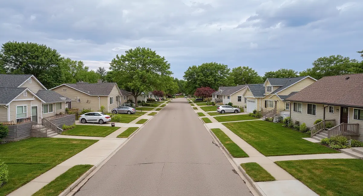
Clive's housing stock was built almost entirely between the early 1970s and the late 1990s — a concentrated 25-year construction window that produced approximately 18,000 residents' worth of homes, after which the city reached full buildout with no remaining developable land. This matters for two reasons. First, the housing stock falls within a narrow age band — 30 to 55 years old — that places it squarely in the window where glacial till's cumulative hydrostatic pressure produces visible structural symptoms in both concrete block and poured concrete construction. Second, full buildout means maximum impervious surface coverage and maximum stormwater concentration, elevating soil moisture around foundations beyond what existed during initial construction.
The 1970s construction in Clive used concrete block basement walls as the standard — a material and method that was code-compliant and common across the Des Moines metro during that decade. Block walls fail under lateral pressure at their mortar joints, producing stair-step cracks that track diagonally along the mortar lines. After 45 to 55 years of annual hydrostatic loading from the glacial till, many of Clive's oldest block walls have developed this characteristic cracking pattern. Some have progressed beyond cracking into measurable inward displacement — the wall physically pushed inward by decades of persistent lateral pressure. Block walls with more than 1 inch of inward bow typically require structural intervention rather than cosmetic repair.
The 1980s and 1990s construction in Clive transitioned increasingly to poured concrete basement walls, which resist lateral pressure as a monolithic unit rather than failing at joints. Poured walls from this era are now 30 to 45 years old — approaching the age where horizontal cracking at or near grade level becomes the expected symptom as the wall begins deflecting inward under sustained hydrostatic loading. The distinction between block-wall and poured-wall construction in Clive roughly tracks with the decade of construction: earlier 1970s homes are more likely block; later 1980s-1990s homes are more likely poured concrete. Both types are within their symptom-onset windows, but they produce different crack patterns and require different stabilization approaches.
Full buildout amplifies foundation risk through the impervious surface effect — Clive's complete development means every property is surrounded by other developed properties, with no remaining open land to absorb excess rainfall. Stormwater from roofs, driveways, and streets that would have soaked into adjacent vacant lots during Clive's development years now routes entirely through engineered drainage or concentrates in the soil around existing foundations. Homes at low points in neighborhood grading plans — particularly near Walnut Creek's drainage basin — receive accumulated runoff from surrounding properties, increasing the hydrostatic load their foundations bear compared to homes on elevated ground.
Why does Clive's full buildout status increase foundation risk compared to when the neighborhoods were first constructed in the 1970s and 1980s?
How Does the Walnut Creek Corridor Intensify Foundation Risk in Central Clive?
Walnut Creek is Clive's primary drainage feature, and the neighborhoods within its drainage basin experience measurably different soil moisture conditions than Clive's upland areas — a difference that translates directly into higher hydrostatic pressure against basement walls for longer durations after rain events. The creek collects runoff from a significant portion of Clive's fully developed landscape, channeling water through the central corridor. But the creek's influence extends beyond its visible banks. The alluvial deposits along the creek and the elevated groundwater within its drainage basin create a zone of persistent moisture that may extend several hundred feet from the channel itself.
The Greenbelt trail system that follows Walnut Creek through Clive serves as both recreation infrastructure and an implicit acknowledgment of drainage sensitivity — the greenbelts occupy low-lying land along the creek because that land was recognized as unsuitable for residential construction. Properties that border the Greenbelt sit at the edge of this drainage-sensitive zone. Their foundations face the glacial till's baseline hydrostatic pressure compounded by proximity to the creek's elevated moisture field. During the March-through-June peak moisture season, when Walnut Creek carries its highest volume and the surrounding soil is most saturated, these bordering properties experience the most sustained foundation loading in Clive.
Clive homeowners near the Walnut Creek corridor are more likely to see sloping floors and sticking doors and windows as early symptoms because the sustained moisture maintains pressure for longer periods, producing more gradual but more persistent displacement than the cyclical pressure upland homes experience. Upland homes see pressure rise during wet seasons and decrease during dry seasons — a cycle that produces incremental damage. Creek-corridor homes see pressure rise during wet seasons and decrease only partially during dry seasons because the creek's drainage influence keeps soil moisture elevated even in summer. This more constant loading favors slow, progressive displacement over seasonal cycling.
When Does Clive's Water Table Create the Most Foundation Stress?
March through June is the peak stress period, consistent with the broader Des Moines metro pattern — spring snowmelt overlapping with the year's heaviest rainfall saturates the glacial till and pushes the water table to within 2 to 3 feet of the surface in Clive's poorly draining soil. The 26 inches of annual snowfall that accumulates through December, January, and February releases its moisture gradually as March temperatures rise. This snowmelt enters soil that has been frozen since November or December, and the thawing till cannot drain the incoming moisture efficiently. By the time the May-June rainfall peak arrives, the till is already near saturation from snowmelt — and the additional rain pushes it to its annual maximum.
Western Clive's loess-over-till profile makes the spring peak more abrupt because the perched water table at the loess-till boundary responds to rainfall events within days rather than weeks. A heavy April storm can elevate the perched table rapidly, generating a sudden spike in lateral pressure against foundations at the loess-till transition depth. This rapid response means western Clive homes may experience pressure events that eastern Clive homes — on uniform glacial till with a more gradually responding water table — do not. Homeowners in western Clive who notice sudden basement moisture after specific rain events, rather than a gradual seasonal increase, may be seeing the perched water table's influence.
The October-November secondary risk period is particularly relevant to Clive because the Walnut Creek corridor retains fall moisture in the soil column that then freezes in place for the winter. Iowa's 42-inch frost depth means a substantial volume of soil freezes around foundations each winter. Soil that enters the freeze season at high moisture content produces more aggressive ice lens formation — horizontal layers of ice that grow by drawing water from the surrounding soil, exerting lateral forces against foundation walls at unpredictable depths within the frost zone. Clive's Walnut Creek-adjacent homes, which enter winter with the highest soil moisture, experience the most frost-related wall loading during December through February.
Late July through September represents Clive's lowest-risk window — reduced rainfall, warmer temperatures, and higher evaporation rates allow the water table to recede and soil pressure to decrease. This period is optimal for foundation evaluation and repair work. Excavation conditions are best, concrete and epoxy products cure most reliably, and the foundation wall is at its least-deflected state — providing the most accurate assessment of permanent structural displacement versus temporary elastic bowing that reverses when pressure decreases. For Clive homes showing symptoms during spring, a summer evaluation establishes whether the observed damage is seasonal movement or progressive structural change. The cost page covers how seasonal scheduling and project scope affect repair economics.
What Foundation Repair Approaches Work Best in Clive's Glacial Till?
Clive's concentrated 1970s-1990s housing stock means the city faces a wave of foundation repair needs as its entire built environment crosses the 30-to-50-year threshold simultaneously — and the correct repair approach depends on both the wall type and the specific soil profile beneath the home. For Clive's older concrete block walls with stair-step cracking, stabilization options include wall anchors driven through the soil to stable bearing material beyond the hydrostatic pressure zone, or carbon fiber straps bonded to the interior wall surface to arrest further inward movement. Wall anchors are the more aggressive option, with the potential to gradually restore wall position over time. Carbon fiber is appropriate where the wall has bowed less than 2 inches and the goal is to prevent further displacement.
For poured concrete walls with horizontal cracking at grade level, epoxy or polyurethane crack injection can seal the crack against water entry, but injection alone does not address the hydrostatic pressure that caused the crack. Injection is a repair-the-symptom approach. If the underlying pressure is not managed — through drainage improvements, interior drain systems, or sump pump installation — the same pressure that produced the original crack will continue acting on the wall and may produce additional cracking adjacent to the injected repair. Effective repair in Clive's glacial till requires addressing both the structural damage and the moisture source driving it.
Settlement-related symptoms — vertical cracks, sloping floors, chimney separation — indicate differential movement of the footing beneath the wall, which requires a different repair approach than the lateral-pressure symptoms that dominate Clive's problem profile. Push piers or helical piers driven through the glacial till to load-bearing strata stabilize and potentially lift settled foundation sections. In Clive's dual-county soil profile, pier depth requirements may vary between eastern and western neighborhoods — western Clive's loess-over-till layering requires piers that penetrate through both deposits to reach competent bearing material, potentially increasing pier depth compared to installations in eastern Clive's uniform till.
Moisture management — the prevention strategy — is especially impactful in Clive because the full-buildout impervious surface condition cannot be reversed. Homeowners cannot control the development density around their property, but they can control drainage immediately adjacent to their foundation. Gutters and downspouts discharging at least six feet from the wall, positive grade maintaining a 6-inch drop over the first ten feet, and functional sump systems that activate before the water table reaches the wall-footing joint are the three highest-leverage maintenance items. The homeowner's guide provides a seasonal monitoring checklist tailored to Iowa's glacial till environment, including specific observations appropriate for each phase of the annual moisture cycle.
- Clive's 1970s-1990s housing stock is 30 to 55 years old — fully within the cumulative damage window where glacial till hydrostatic pressure produces visible structural symptoms in both concrete block and poured concrete walls.
- Full buildout means maximum impervious surface coverage across the entire city, concentrating stormwater around foundations at higher volumes than during initial construction decades ago.
- The Walnut Creek corridor maintains persistent elevated soil moisture that extends several hundred feet from the channel, producing more constant hydrostatic loading for nearby homes than the seasonal cycling upland properties experience.
- Clive straddles the Polk-Dallas county line — eastern homes face standard glacial till pressure while western homes also contend with a perched water table at the loess-till boundary that responds rapidly to individual rain events.
Clive Foundation Questions
Why does Clive's fully built-out status make foundation problems more likely now than in previous decades?
Clive reached full buildout by the late 1990s, meaning virtually no undeveloped land remains within city limits. Full buildout means maximum impervious surface coverage — every lot has a roof, driveway, and patio directing runoff into the ground around it. When Clive's neighborhoods were first built in the 1970s and 1980s, surrounding undeveloped land absorbed significant rainfall volume. Today, with full development on all sides, the total volume of water that must drain through the existing soil and storm infrastructure is at its maximum. This increase in concentrated runoff elevates soil moisture around foundations compared to conditions during early development. Combined with 30 to 50 years of cumulative hydrostatic pressure on foundations built with 1970s and 1980s construction standards, Clive's housing stock is in the age-and-moisture window where foundation symptoms appear at increasing frequency.
How does Walnut Creek affect foundation risk in Clive neighborhoods?
Walnut Creek runs through central Clive as the primary drainage corridor, and neighborhoods adjacent to the creek experience elevated soil moisture for longer durations after rain events. The creek's influence extends beyond its visible channel — the alluvial deposits along the creek corridor and the elevated water table within the creek's drainage basin keep soil saturated in a zone that may extend several hundred feet from the creek itself. Homes within this influence zone experience more persistent hydrostatic pressure against their basement walls than homes on higher ground further from the creek. The Greenbelt trail system that follows Walnut Creek's corridor through Clive is itself an indicator — the greenbelts exist partly because those low-lying areas along the creek were recognized as flood-prone or drainage-sensitive, making them unsuitable for additional residential construction.
Are concrete block basement walls in Clive's 1970s-1980s homes at higher risk than poured concrete?
Concrete block basement walls are structurally more vulnerable to lateral hydrostatic pressure than poured concrete walls. Block walls are assembled from individual units joined by mortar, creating a grid of joints that are weaker than the blocks themselves. When glacial till generates hydrostatic pressure against a block wall, the wall fails at these mortar joints — producing the stair-step crack pattern that follows the mortar lines diagonally across the wall face. Poured concrete walls, by contrast, are monolithic — they resist lateral pressure as a single structural unit and typically develop horizontal cracking at grade level rather than stair-step cracking along joints. Many of Clive's 1970s and 1980s homes were built with concrete block basement walls, a construction choice that was standard and code-compliant for the era but is inherently less resistant to the lateral loading that glacial till produces over decades.
What foundation symptoms should Clive homeowners near University Avenue watch for?
The residential neighborhoods behind University Avenue's commercial corridor are predominantly 1970s through 1990s construction that has now endured 30 to 50 years of glacial till pressure cycling. At this age, the symptoms that homeowners should watch for include stair-step cracks along block wall mortar joints, horizontal cracking at or below grade level in poured concrete walls, basement moisture or water entry during the March-through-June wet season, doors and windows that stick seasonally as the foundation shifts under changing hydrostatic load, and sloping floors that may be subtle enough to require a level to detect. The transition from the commercial corridor's heavy impervious surfaces to the residential lots behind it can create concentrated drainage patterns — parking lot runoff that routes toward residential foundations rather than away from them.
Does Clive's position on the Polk-Dallas county line create different foundation risks on different sides of the city?
Yes. The Polk-Dallas county boundary in Clive roughly corresponds to a geological transition between glacial-till-dominant soil in eastern Clive and loess-over-till mixed deposits in western Clive. Eastern Clive foundations face standard hydrostatic pressure from the Dows Formation glacial till — persistent lateral loading from a high water table trapped in poorly draining till. Western Clive foundations face the same till pressure plus the complication of a perched water table at the loess-till boundary. This perched table can generate pressure at an unexpected depth and responds faster to rainfall events than the deeper regional water table. Two Clive homes one mile apart but on opposite sides of this geological transition can experience different symptom patterns, different pressure timing, and may require different repair approaches to address their specific soil conditions.