Lee's Summit Foundation Risk — Jackson County Clay, Longview Lake, and Rolling Terrain
Soil mechanics, housing stock analysis, and seasonal risk data for Lee's Summit, Missouri — one of the largest Missouri-side Kansas City suburbs, built primarily on the metro's heaviest concentration of Wymore-Ladoga clay.
Lee's Summit sits on Jackson County's heaviest concentration of Wymore-Ladoga clay — 60 to 80 percent montmorillonite content rated "very high" shrink-swell — making it one of the most volumetrically active soil environments in the Kansas City metro. The city's rolling topography creates uneven drainage that amplifies differential foundation movement, and homes near Longview Lake face a compressed shrink-swell cycle due to elevated water table influence.
What Soil Is Under Lee's Summit Foundations?
Lee's Summit sits on Wymore-Ladoga clay complex — the dominant soil in Jackson County and, according to regional USDA mapping, the heaviest concentration of this formation in the entire Kansas City metropolitan area. Wymore-Ladoga is a montmorillonite-dominated clay with 60 to 80 percent clay content, rated "very high" shrink-swell potential, and classified Hydrologic Soil Group D — meaning it absorbs water extremely slowly and drains poorly once saturated. This is not incidental background data. It is the controlling factor in what foundation problems appear, how quickly they develop, and what the repair options are.
Montmorillonite clay expands when it absorbs water and contracts when it dries — a cycle that generates force against any structure embedded in or resting on it. At 60 to 80 percent clay content, Lee's Summit soil is among the most volumetrically active in Missouri. A one-foot column of Wymore-Ladoga clay can change height by several inches across a wet-dry cycle. This movement is not uniform: slope position, proximity to water bodies, tree root competition, and site grading all produce local variation. The result is differential movement — parts of a foundation move more than others, producing the diagonal cracks, sticking doors, and sloping floors that characterize foundation distress on this soil. For the physics behind shrink-swell mechanics, the foundation science page provides a detailed explanation.
Lee's Summit's rolling topography adds a layer of variability that flat-terrain suburbs don't face. Unlike Overland Park or Lenexa — where water drains slowly and uniformly across flat Johnson County ground — Lee's Summit terrain concentrates surface runoff into low-lying areas and stream corridors. Homes at the base of slopes or near drainage paths receive more soil moisture input than ridge-top homes with the same clay beneath them. This creates a patchwork of soil moisture conditions across the city: some yards dry out significantly in summer while others, fed by concentrated runoff, remain near field capacity. The moisture gradient between adjacent homes on different terrain positions produces different shrink-swell amplitudes from the same base soil.
Missouri's frost depth of 36 inches is the standard design parameter for Lee's Summit footings — any footing shallower than 36 inches is vulnerable to frost heave from ice lens formation within the clay. At 36 inches, the frost zone ends and the soil remains at near-constant temperature year-round. Footings placed correctly at or below this depth are protected from direct frost action, though the shrink-swell cycle above the footing continues to act on stem walls and slabs. Older downtown core homes, particularly those built before 1940, may have footings that do not meet the 36-inch standard — making them vulnerable to both frost heave and clay shrink-swell simultaneously.
What Does Lee's Summit's Housing Stock Mean for Foundation Risk?
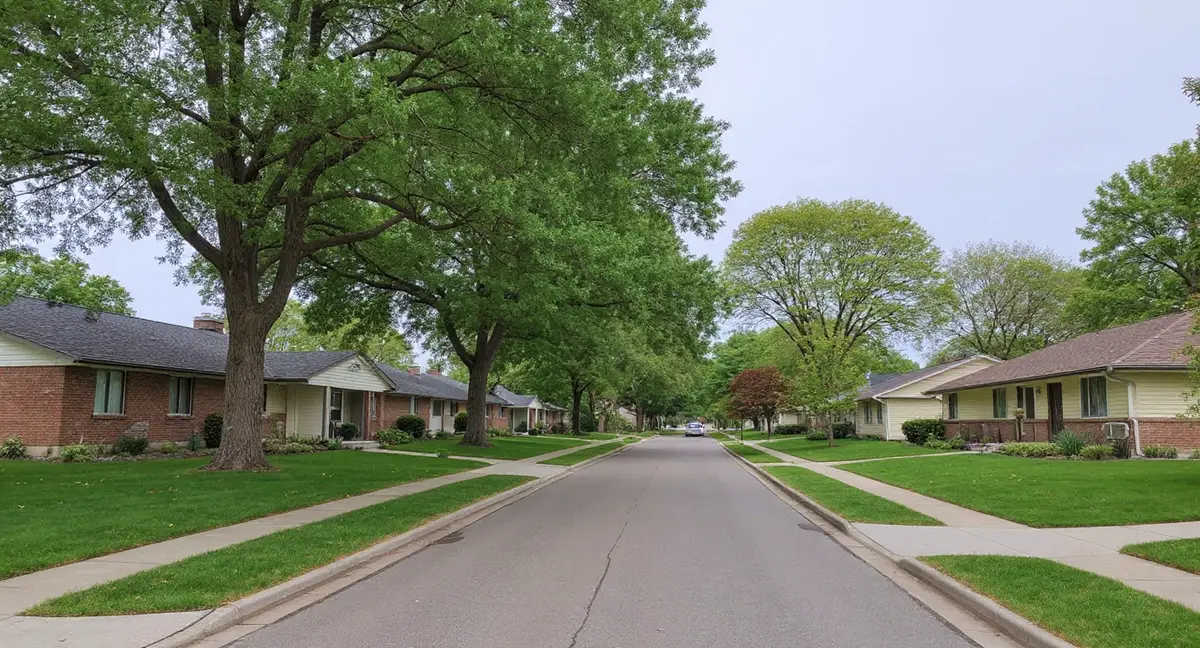
Lee's Summit's housing stock divides into three distinct bands, each with different construction methods and different relationships to the Wymore-Ladoga clay beneath them. The oldest band — a small pocket of pre-1940s homes clustered around the Old Lee's Summit downtown core and historic railroad district — includes masonry foundations, early poured concrete, and some block construction predating modern soil awareness. These homes have experienced the full duration of Jackson County's shrink-swell cycling and typically show cumulative distress: wide crack networks, settled sections, and walls that have migrated from their original plumb position over decades.
The second band, built during the I-470/US-50 corridor boom of the 1970s and 1980s, comprises the largest segment of Lee's Summit's residential inventory and is entering the age range where Wymore-Ladoga movement produces visible symptoms. These homes, built primarily in Lakewood, the older portions of Summit Fairways, and the original I-470 corridor subdivisions, predominantly use poured concrete basements. Poured concrete resists the horizontal pressure of expanding clay better than block construction, but it still cracks under differential settlement — particularly at corners, window openings, and points where the wall transitions from below-grade to above-grade. Homes now 35 to 50 years old in this corridor are the most active segment of Lee's Summit's foundation repair market.
Raintree Lake, Summit Woods, Chapel Ridge, and Winterset represent the 1990s-2000s outer development ring — newer poured concrete construction that benefits from improved building codes but is now entering its first full cycle of observable foundation movement. These homes were built on what was formerly agricultural or undeveloped land on the city's periphery, where soil disturbance during construction can alter the natural moisture regime. Cut-and-fill grading — standard practice in rolling terrain subdivisions — places some homes on compacted fill soil that behaves differently from undisturbed Wymore-Ladoga below. Fill soil settles independently as it consolidates, adding a second source of foundation movement on top of the clay's natural shrink-swell. The homeowner guide covers how to distinguish fill-related settlement from clay shrink-swell at the symptom level.
What Foundation Problems Are Most Common in Lee's Summit?
Diagonal cracks originating at window and door corners are the most common first symptom across Lee's Summit's housing stock — the direct signature of differential settlement on Wymore-Ladoga clay. When one footing corner settles more than adjacent corners, the wall above it rakes, stretching the wall diagonally. Poured concrete cracks at the weakest points: the corners of openings. A crack running diagonally upward from a basement window corner toward the ceiling is not random — it is the geometry of racking made visible. These cracks tend to be wider at one end than the other, and they open and close measurably across the wet-dry seasons. For a full description of this crack pattern, see the diagonal cracks page.
Homes near the Longview Lake shoreline and Blue River corridor carry an added risk of differential moisture conditions that amplify the normal clay cycle. Proximity to open water raises local water table elevation, keeping clay wetter during what would otherwise be the summer dry-down period. A foundation that never fully dries never undergoes the full contraction phase of the shrink-swell cycle — and a clay that never contracts is one that never fully resets its support capacity. This compressed cycle does not eliminate risk; it shifts it toward chronic slight subsidence rather than dramatic seasonal cracking. Homes in these lakeside and riverside zones often show gradual floor slope and out-of-plumb walls as their primary indicators rather than acute seasonal cracking.
Stair-step cracks in the small pocket of block construction near Old Lee's Summit are a third distinct pattern specific to that building era. Block walls distribute lateral pressure across mortar joints, and mortar — weaker than the block units themselves — yields first. The resulting stair-step crack follows the mortar bed lines at 45-degree angles. Unlike a poured concrete crack that represents a single fracture through continuous material, a stair-step crack in block represents multiple joint failures across a section of wall. The stair-step cracks page explains how to read the difference between clay-pressure-driven and frost-driven stair-step patterns.
A Lee's Summit home near Longview Lake shows gradual floor slope but minimal seasonal cracking. What soil-water interaction most likely explains this pattern?
When Is Foundation Risk Highest in Lee's Summit?
Lee's Summit receives 42 inches of rainfall annually, with a pronounced May peak of 5.7 inches — the month when Wymore-Ladoga clay is at its maximum saturation and maximum expansion pressure against foundations. The April-through-June window is the period when new cracks appear, existing cracks widen, and sticking doors and windows become most noticeable. If you observe a symptom for the first time in May or June, the clay cycle is the most probable cause — the soil has absorbed winter and spring rainfall, expanded, and is pressing at maximum force against the foundation.
The winter freeze-thaw period, operating within Missouri's 36-inch frost zone, produces its own distinct damage pattern in Lee's Summit. When moist Wymore-Ladoga clay freezes, ice lenses form and push the soil outward — adding lateral force against the foundation wall in addition to the shrink-swell pressure. Repeated freeze-thaw cycling through the winter months widens existing cracks incrementally and can displace block walls measurably over several winters. January is the statistical low point for rainfall at 1.5 inches, but freezing of already-saturated clay from the previous fall means the soil still carries significant ice pressure through the cold months.
August and September represent the lowest-risk period for Lee's Summit foundations — the clay has dried and contracted, pressure is at its annual minimum, and the frost zone is months away. Late summer is the best time to take baseline measurements of crack widths, note floor level readings, and document any out-of-plumb conditions. Measurements taken during the August-September dry season establish the "contracted" baseline against which spring expansion can be compared. A crack that measures 1/8 inch in September and 3/16 inch in May has grown by 1/16 inch — still within normal seasonal cycling. A crack that measures 1/4 inch in September and nearly 1/2 inch in May has moved outside normal seasonal bounds and warrants professional evaluation.
How Can Lee's Summit Homeowners Reduce Foundation Risk?
Controlling soil moisture at the foundation perimeter is the most effective single action a Lee's Summit homeowner can take — the goal is to reduce the amplitude of the wet-dry cycle that drives Wymore-Ladoga's shrink-swell movement. Gutters that discharge at least six feet from the foundation wall, downspout extensions pointing away from the house, and positive yard grading that sheds water away from the foundation at a minimum 6-inch drop over the first ten feet all reduce the seasonal peak moisture loading on the clay. Homes near Longview Lake's water table influence cannot eliminate the moisture variable, but they can prevent surface water from compounding the already-elevated baseline.
Large trees within 20 feet of the foundation create a competing moisture cycle that amplifies clay shrink-swell beyond the rainfall-driven baseline. Tree roots actively extract soil moisture in a cone extending to the drip line and beyond, creating localized dry zones in summer that may contract the clay beneath one footing corner more than others. This localized contraction produces differential settlement — one corner drops while the rest remains stable. Removing large trees close to the foundation, or installing root barriers, can reduce this localized risk without eliminating the broader clay cycle. The repair cost page provides context on the financial scale of settlement repair when differential movement has already occurred.
Foundation monitoring — simple crack measurement with a calibrated card or crack gauge, recorded quarterly — provides the data needed to distinguish normal seasonal cycling from progressive structural change. A crack that opens and closes predictably with the seasons but returns to the same width each late summer is cycling; a crack that is wider each successive late-summer measurement is growing. The difference between cycling and progression determines whether professional evaluation is warranted now or can wait for another monitoring cycle. Lee's Summit's rolling topography means site-specific drainage conditions vary significantly — monitoring provides the local data that no generalized guide can replace.
- Lee's Summit sits on Jackson County's heaviest Wymore-Ladoga clay concentration — 60 to 80 percent montmorillonite content producing very high shrink-swell forces against foundations.
- Rolling topography creates uneven drainage: homes at slope bases face wetter soil conditions and more aggressive clay expansion than ridge-top homes with identical construction.
- Homes near Longview Lake experience a compressed shrink-swell cycle that favors chronic settlement over dramatic seasonal cracking — monitor for gradual floor slope rather than acute cracks.
- August-September dry season is the best time to establish baseline crack measurements, against which spring expansion readings can reveal whether movement is seasonal cycling or progressive structural change.
Lee's Summit Foundation Questions
Does living near Longview Lake affect foundation risk in Lee's Summit?
Yes, measurably. Longview Lake on Lee's Summit's west side raises the local water table in adjacent neighborhoods, keeping Wymore-Ladoga clay in those areas closer to saturation year-round than clay further east from the lake. The practical effect is that homes within roughly a half-mile of the lake — particularly on lower terrain — experience less pronounced seasonal dry-out during summer. That means the shrink-swell cycle is compressed: less contraction in summer, similar expansion in spring, producing net soil movement that tends to settle foundations rather than simply cycle them. Homeowners in Lakewood and nearby areas near Longview Lake should treat chronic slight settlement as a higher probability than those in the drier eastern portions of the city.
Are older homes near downtown Lee's Summit at higher risk than newer I-470 corridor construction?
The pre-1940s homes clustered around the Old Lee's Summit downtown core carry the highest cumulative risk in the city, but for different reasons than newer construction fails. Those older homes — many built with poured concrete or early block foundations — have undergone 80-plus years of Wymore-Ladoga shrink-swell cycling on walls and footings designed before modern soil science was applied to residential construction. The I-470 corridor homes from the 1970s through 1990s are on poured concrete walls and are approaching the 30-50 year mark where Wymore-Ladoga's cumulative movement becomes visually apparent: diagonal cracks at window corners, stair-step patterns along block joints, and floor slope that develops gradually rather than suddenly.
How does Lee's Summit's rolling topography change foundation risk compared to flat Johnson County suburbs?
Flat terrain — Overland Park, Lenexa, Shawnee — sheds water uniformly and slowly. Lee's Summit's rolling hills create concentrated drainage paths where runoff accelerates toward low points, saturating the Wymore-Ladoga clay in those low zones more aggressively than neighboring high ground. A home at the base of a slope in Raintree Lake or Summit Woods faces different soil moisture conditions than one on a ridge 200 feet away, even with identical construction methods and the same Jackson County clay beneath both. Variable drainage across rolling terrain also means the soil's shrink-swell cycle is spatially uneven: wetter areas expand more, drier ridge tops contract more, and differential movement between these zones puts additional racking stress on any structure that bridges them — long slab sections, large footprint ranch homes, walkout basements.
What foundation symptoms are most common in Lee's Summit's 1980s-1990s I-470 corridor neighborhoods?
The most common early indicators in 1970s-1990s Lee's Summit construction are diagonal cracks at the upper corners of basement windows and door frames — the classic signature of differential settlement on Wymore-Ladoga clay. Poured concrete walls in this era are generally more resistant to catastrophic failure than block walls, but they still crack at stress concentrations. Sticking exterior doors, especially during the wet spring months, indicate the wall is racking as one footing corner settles relative to another. Sloping floors in the first story above the basement are a later-stage indicator that the foundation is no longer maintaining consistent elevation. All three patterns worsen during Lee's Summit's May peak rainfall period, when the clay reaches maximum saturation and maximum uplift pressure on slabs and shallow footings.