Lenexa, Kansas Foundation Risk Profile
Soil data, housing stock analysis, and seasonal risk patterns for Lenexa homeowners — from Old Town's Santa Fe Trail heritage to Turkey Creek's flood corridor to the 1970s suburban expansion south of K-10.
Lenexa sits on Wymore-Ladoga clay (60-80% clay content, "very high" shrink-swell) with Turkey Creek's documented flood corridor running through the city center, creating a dual risk of clay expansion and physical water erosion against foundations. The city's predominantly 1970s-2000s poured concrete basements are now entering the 40-to-50-year window when first major symptoms typically appear on Johnson County clay.
What Soil Sits Beneath Lenexa Homes?
Lenexa sits on the Wymore-Ladoga complex, a montmorillonite clay formation with 60 to 80 percent clay content classified by the USDA as "very high" shrink-swell and Hydrologic Soil Group D — the highest runoff category with the lowest infiltration rates in the classification system. This is not a localized pocket under one neighborhood; it is the dominant soil formation across all of Johnson County, continuous beneath Lenexa from the Old Town core along Santa Fe Trail Drive to the newest subdivisions at the city's western edge. The soil does not change significantly across Lenexa's geography — the risk variation comes from topography, drainage, and the age and construction type of the structure above it.
Eastern Johnson County, including much of Lenexa, also sits beneath a Peorian loess deposit up to 17 feet thick — windblown silt that overlays or interfingers with the Wymore-Ladoga clay in places. Loess modifies the pure clay profile in two ways: it reduces extreme shrink-swell behavior somewhat, but it introduces collapse risk under saturation, where the loosely packed silt structure can compress suddenly when waterlogged. The practical effect for Lenexa homeowners is that the soil beneath any given foundation may behave more like expansive clay, more like compressible silt, or as a combination of both — depending on the exact stratigraphic profile at that location. The foundation science page covers how soil classification translates into structural load.
Turkey Creek is the dominant drainage feature in central Lenexa, and the soil along its corridor reflects active water management — repeatedly saturated, periodically scoured, and subject to erosion that removes supporting material from foundations built in the flood zone. The creek has a documented history of flooding, meaning creek-adjacent foundations face a combined risk from clay shrink-swell and physical water erosion that is distinct from the standard Johnson County shrink-swell profile. Kill Creek in western Lenexa and Cedar Creek in the southwest represent similar but lower-magnitude drainage corridors in the rural-to-suburban transition zones at the city's edges.
Shawnee Mission Lake in Lenexa's northeastern portion creates a localized elevated water table condition that affects nearby foundations through increased hydrostatic pressure. Homes within a quarter-mile of the lake can experience basement wall leakage and soil saturation patterns that persist longer than the surrounding area after rain events. The frost depth of 36 inches means seasonal freeze-thaw cycling penetrates three feet below grade, adding mechanical stress to any existing cracks or material weaknesses in foundation walls and footings.
How Does Lenexa's Housing Stock Shape Foundation Risk?
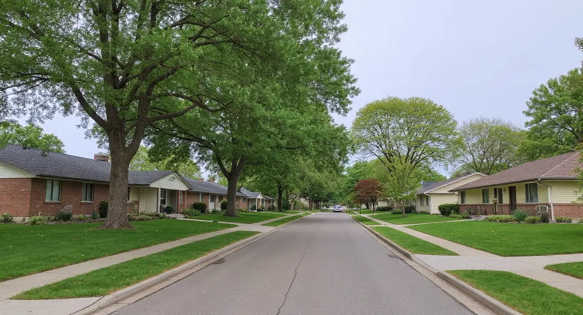
Lenexa's approximately 55,000 residents live across a housing stock that spans three distinct development eras, each with different foundation construction standards and different cumulative exposure to Wymore-Ladoga clay. Unlike older suburbs such as Prairie Village or Roeland Park, where most of the housing predates 1960, Lenexa developed its primary residential mass during the suburban boom of the 1970s through the 2000s — making poured concrete the dominant basement wall type rather than the concrete block construction common in earlier suburbs. This is a meaningful distinction: poured walls resist lateral clay pressure more effectively in the early decades but still accumulate damage as decades of shrink-swell cycling compound.
Old Town Lenexa, concentrated around Santa Fe Trail Drive, contains the city's oldest housing stock — 1950s and 1960s construction that predates the broader suburban expansion and is more likely to include concrete block or even older masonry foundation walls. These homes carry 60 to 70 years of cumulative shrink-swell exposure, the longest in Lenexa. Block walls in this neighborhood are more susceptible to stair-step cracking through mortar joints and to inward bowing from sustained lateral pressure than the poured concrete walls built throughout the rest of the city from the 1970s onward.
Lenexa City Center, the city's 2010s-era mixed-use redevelopment, represents some of the newest construction in Johnson County — but sits immediately adjacent to Old Town's older housing, creating an unusual juxtaposition of maximum-age and minimum-age foundations within the same neighborhood. City Center construction benefits from modern code requirements and engineered soil management, but the underlying clay is the same. New foundations built on Wymore-Ladoga clay typically take 10 to 20 years before first-generation symptoms appear, placing City Center properties built between 2012 and 2020 at or entering that window. Drainage patterns in the mixed Old Town/City Center area are also less predictable than in uniform suburban developments.
K-10 highway functions as an informal development boundary that broadly corresponds to construction era and cumulative risk. Neighborhoods north of K-10 are older, with more 1970s and 1980s construction approaching or past the 40-to-50-year mark when poured concrete walls see their highest rates of first-time repair demand. Neighborhoods south of K-10 are predominantly 1990s and 2000s construction with less accumulated clay exposure — still at risk, but earlier in their damage progression.
A 1975 poured concrete home near Turkey Creek in central Lenexa develops a horizontal crack at mid-height on the basement wall. What is the most likely explanation?
What Foundation Problems Show Up Most in Lenexa?
The most common foundation problem in Lenexa's 1970s-80s poured concrete homes is horizontal cracking in basement walls, where cumulative lateral pressure from the expanding Wymore-Ladoga clay has bowed the wall inward at or just below grade. Poured concrete walls resist early pressure better than block walls, but they are not immune after 40 to 50 years of cyclic loading. A horizontal crack running across the mid-height of a basement wall is a structural signal — not a cosmetic issue — and typically indicates the wall has moved past its elastic limit. The horizontal cracks symptom page covers how to read the severity.
Differential settlement producing diagonal cracks at wall corners, door and window frames, and along drywall seams is the second most common pattern, driven by uneven drying of the clay around the foundation perimeter. South-facing and west-facing walls lose soil moisture faster in Lenexa's summer heat, creating a moisture gradient that causes one side of the foundation to settle while the other holds. The result is a racked frame — diagonal cracks at corners, sticking doors and windows, and sloping floors in the finished space above. Creek-corridor homes near Turkey Creek add a water-erosion dimension: footings can lose bearing support not just from clay contraction but from physical removal of soil by flood events.
Old Town Lenexa's block basement homes show stair-step crack patterns in mortar joints — the signature failure mode for concrete block walls under lateral clay pressure. These cracks follow the weakest path through the wall, tracing diagonally from corner to corner through the mortar rather than through the block itself. Water infiltration through crack faces accelerates deterioration. Homes within range of Shawnee Mission Lake's elevated water table may also experience basement wall efflorescence and seepage that compounds block wall damage through repeated wetting and drying.
When Is Foundation Risk Highest in Lenexa?
Lenexa receives 42 inches of annual rainfall with a pronounced seasonal swing — May averages 5.7 inches at the wet peak, dropping to just 1.5 inches in January — and this four-to-one wet-dry ratio drives the most damaging soil movement cycle in the calendar year. May's heavy rains saturate the Wymore-Ladoga clay to full expansion, generating maximum lateral pressure against basement walls. This is the highest-risk window for new horizontal cracks and for worsening of existing wall bowing. Turkey Creek flood events during spring rain peaks add direct water pressure against creek-adjacent foundations on top of the clay pressure.
The secondary high-risk period runs from late July through September, when summer heat and reduced rainfall drive maximum clay contraction. The clay shrinks away from foundation footings, removing bearing support and allowing differential settlement to accelerate. This is when diagonal cracks widen at door and window corners, floors develop new slopes, and doors that operated normally in spring begin to bind. The movement is not always immediately visible — sometimes the settlement accumulates slowly over multiple dry summers before a crack threshold is crossed.
March through April and September through October are the optimal monitoring windows because the soil is actively transitioning between wet and dry states, making any movement measurable. Placing reference marks on existing cracks and checking them across these transition seasons reveals whether damage is active or historical. Winter freeze-thaw adds a third deterioration mechanism: the 36-inch frost depth means ice forms inside any existing crack faces and widens them by 9% volumetric expansion with each cycle.
What Can Lenexa Homeowners Do to Reduce Foundation Risk?
Soil moisture management at the foundation perimeter is the highest-leverage prevention action available to Lenexa homeowners, regardless of whether they live near Turkey Creek, in Old Town, or in a 1990s subdivision south of K-10. The goal is to reduce the amplitude of the wet-dry swing the clay experiences at the footing level. Consistent, measured irrigation along the foundation perimeter during dry months slows clay contraction. Positive grading away from the foundation at a minimum 6-inch drop over 10 feet keeps rain water from pooling against the wall and then evaporating to create extreme drying. See the homeowner's guide for a drainage management checklist.
Gutters and downspouts require particular attention in Lenexa because the Hydrologic Soil Group D classification means water does not infiltrate — it runs off. Downspouts discharging at the foundation wall dump concentrated water against the soil and then allow rapid evaporation, cycling the local clay through wet-dry extremes on a compressed timeline. Extensions that carry discharge at least 6 feet from the foundation reduce this concentrated cycling. For creek-corridor homes near Turkey Creek, sump pump systems with backup power address the direct water intrusion risk during flood events; the crack injection page covers waterproofing-side options for existing water entry points.
Periodic visual inspection of basement walls and floor slabs — particularly during the seasonal transition months of March-April and September-October — allows homeowners to document whether existing cracks are active or stable before they cross a threshold requiring structural intervention. The cost page documents how repair scope and cost escalate significantly once horizontal cracks exceed half an inch of displacement or once differential settlement has advanced to the point of structural racking.
- Lenexa's Wymore-Ladoga clay (60-80% clay, Group D) combines with Turkey Creek's documented flood corridor to create a dual risk of clay expansion and physical water erosion against central-city foundations.
- The city's 1970s-1980s poured concrete basements are now 40-50 years old — entering the window when horizontal wall cracks and differential settlement typically first appear on Johnson County clay.
- Old Town Lenexa near Santa Fe Trail Drive has 1950s-1960s block basements with 60-70 years of clay exposure, while Lenexa City Center's 2010s construction is approaching the 10-to-20-year first-symptom window.
- Soil moisture management at the foundation perimeter — consistent irrigation during dry months and positive grading away from the structure — reduces the amplitude of the wet-dry swing that drives cumulative damage.
Lenexa Foundation Questions
Why do homes near Turkey Creek in Lenexa face a higher foundation risk than other Johnson County suburbs?
Turkey Creek runs through central Lenexa and carries documented flooding history that creates a dual risk profile not common in the rest of Johnson County. The Wymore-Ladoga clay along the creek corridor cycles between saturation from flood events and drought-driven contraction in summer — an amplified version of the standard shrink-swell problem. On top of that, repeated flood events undermine foundation footings through water erosion and hydrostatic pressure, adding a water-damage risk layer on top of the clay movement risk that creek-adjacent homeowners in Overland Park or Shawnee generally do not face.
What foundation problems are most common in Lenexa's 1970s and 1980s housing stock?
Lenexa's suburban boom from the 1970s through the 1980s produced predominantly poured concrete basement walls — a stronger design than the concrete block walls common in older suburbs — but those walls are now 40 to 50 years into their exposure to Wymore-Ladoga clay. The most common problems are diagonal cracks at wall corners where differential settlement has racked the foundation frame, horizontal cracks in basement walls where sustained clay pressure has bowed the concrete inward, and floor-level cracks at the joint between the footing and the wall. Poured walls resist early lateral pressure better than block walls, but they are not immune after decades of cyclic loading.
Does Old Town Lenexa near Santa Fe Trail Drive have different foundation risks than the rest of the city?
Yes. Old Town Lenexa contains 1950s and 1960s housing stock built before the suburban boom that defines the rest of the city. These homes are more likely to have block basement walls rather than poured concrete, and they sit on the same aggressive Wymore-Ladoga clay with an additional 20 to 30 years of cumulative shrink-swell exposure compared to the 1970s-built neighborhoods to the south. Block walls in Old Town are more susceptible to stair-step cracking through mortar joints and inward bowing from lateral clay pressure than the poured walls of the 1970s-era neighborhoods.
Is Lenexa City Center's newer construction safe from foundation problems?
Lenexa City Center is 2010s construction — among the newest in Johnson County — and benefits from modern foundation engineering standards, poured concrete walls with better reinforcement, and soil management practices that weren't applied in the 1970s. However, the underlying Wymore-Ladoga clay is the same across all of Lenexa. New construction typically takes 10 to 20 years before the clay begins to produce visible symptoms, meaning City Center properties built in 2012 to 2018 are approaching the window when first-generation problems may appear. Proximity to Old Town's aging infrastructure also means drainage patterns in the area are less predictable.
How does Lenexa's K-10 corridor affect foundation risk by neighborhood?
K-10 highway functions as a practical dividing line between Lenexa's older northern neighborhoods (1960s-1980s construction) and the newer southern developments (1990s-2000s). Homes north of K-10, especially those near Turkey Creek and Old Town, tend to carry older housing stock with longer clay exposure histories and higher cumulative damage risk. Homes south of K-10 are generally younger construction on the same soil type, with shorter cumulative exposure but still at risk as they age. The creek systems — Kill Creek in the west and Cedar Creek in the southwest — add localized drainage variables in the southern portions that are worth evaluating property-by-property.