Blue Springs Foundation Risk — Natural Spring Hydrology, Uniform Era Construction, and East Jackson County Clay
Soil mechanics, housing stock analysis, and seasonal risk data for Blue Springs, Missouri — an east Jackson County suburb with a narrower construction era than almost any other Kansas City-area city, built almost entirely on heavy Wymore-Ladoga clay during a single two-decade boom.
Blue Springs has a uniquely uniform foundation risk profile: nearly the entire city was built during a single 1970s-1980s construction boom on east Jackson County's heavy Wymore-Ladoga clay. This cohort uniformity means most homes are crossing the 40-to-50-year damage threshold simultaneously, and the city's natural artesian spring history indicates a historically elevated water table that keeps clay wetter at depth in portions of the city.
What Soil Is Under Blue Springs Foundations?
Blue Springs sits on Wymore-Ladoga clay complex — the same Jackson County formation that underlies most of the Missouri side of the Kansas City metro, rated "very high" shrink-swell potential, 60 to 80 percent clay content, and Hydrologic Soil Group D. Jackson County carries the densest concentration of this formation in the entire metro area, and Blue Springs occupies the eastern portion of that county, where the Wymore-Ladoga profile is continuous and largely undisturbed by the river-deposited alluvial layers that introduce some soil variation in western portions of the county. For Blue Springs homeowners, this means the clay beneath the city is reliably consistent: high shrink-swell potential, slow drainage, and significant seasonal volumetric change are the norm rather than the exception.
The city's name is a direct reference to its geological history — the Blue Spring, a natural artesian spring, surfaces in the area because groundwater under pressure follows fractures in the subsurface to reach an outlet point. Artesian conditions indicate that a confined aquifer underlies portions of the city, with water pressure sufficient to push groundwater upward. This does not mean all of Blue Springs has a shallow water table, but it does mean that in the spring's drainage basin, subsurface water pressure is historically elevated. In those zones, the Wymore-Ladoga clay above the artesian zone stays wetter at depth than soil moisture patterns from rainfall alone would predict — a condition that compresses the seasonal dry-down and alters the shrink-swell cycle from a sharp seasonal peak toward a more chronic moderate-moisture state. The foundation science page explains how saturation depth affects the magnitude of clay volume change forces against foundations.
Missouri's code-required frost depth of 36 inches governs footing placement throughout Blue Springs — footings must reach at least 36 inches below finished grade to be below the frost zone. All Jackson County clay above that depth undergoes annual freeze-thaw cycling: wetting in fall, freezing in winter, thawing in spring. Within this frost zone, ice lens formation in the moist Wymore-Ladoga clay can generate localized upward heave forces on slabs and shallow stem walls. Blue Springs' January rainfall low of 1.5 inches sounds dry, but the clay typically enters winter already carrying moisture from autumn's higher-rainfall months — meaning it freezes in a wetter state than a drier climate's soil would. Annual rainfall of 42 inches, with the May peak at 5.7 inches setting the pattern for the preceding months, ensures the clay is well-loaded with moisture before winter.
Where Blue Springs borders Grain Valley to the east, the suburban residential fabric thins toward rural transition — and with it, construction density drops and undisturbed clay predominates over the graded and compacted soils common in dense subdivisions. This eastern edge of the city has some of the most recently developed parcels, where cut-and-fill grading during subdivision construction may have mixed native Wymore-Ladoga with compacted fill. Fill soil consolidates independently as it settles to equilibrium, adding a settlement component on top of the clay's natural shrink-swell cycle. Homes on the city's eastern development frontier near Grain Valley should be examined for whether they sit on undisturbed clay or graded fill — the distinction affects which repair approaches are most appropriate.
What Makes Blue Springs' Housing Stock Distinctive?
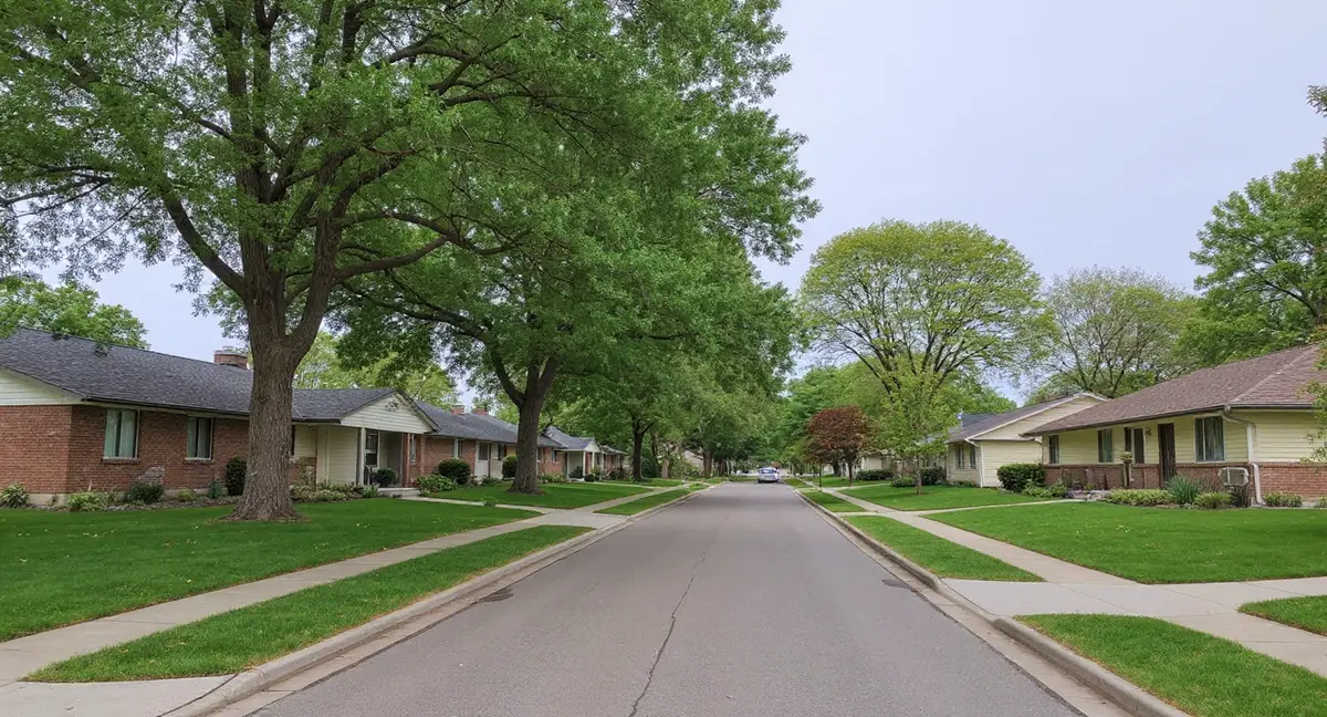
Blue Springs grew from a small rural community to a city of roughly 55,000 people in approximately 30 years — nearly all of that growth occurring between 1960 and 1990, with the peak construction decade spanning 1970 to 1985. This compressed growth timeline is unusual among Kansas City suburbs. Most comparable cities have housing stock spanning 80 to 100 years, with pre-war, postwar, and modern-era homes intermixed. Blue Springs' inventory is dominated by a single construction cohort: poured concrete basements, 1970s-era foundation design, and subdivision grading practices from that period. The city has very few pre-1960s homes because the city barely existed before the suburban boom began.
Woods Chapel, the R-D Mize Road corridor, and the neighborhoods flanking the original suburban growth axis were the first to develop — these 1970s homes are now in the 45-to-55-year age range where Wymore-Ladoga's cumulative movement typically produces visible symptoms. Poured concrete walls resist clay pressure more effectively than block, but they are not immune. Forty-five years of seasonal shrink-swell cycling on heavy Jackson County clay produces diagnostic cracking patterns at structural stress points: the upper corners of window openings, the junction of wall and floor slab, and the transition zones where excavated fill was compacted against the original poured walls. The foundation cracks page describes how to read these specific crack geometries in poured concrete walls.
Adams Dairy Parkway and the later-developed sections near the city's northern and eastern margins represent the 1990s-2000s development wave — newer construction that benefits from updated building codes but is built on the same east Jackson County Wymore-Ladoga clay. These newer sections include some slab-on-grade construction in addition to full basements — a construction type that trades basement flooding risk for the risk of slab heave when the clay beneath the slab expands. Slab heave symptoms differ from basement wall symptoms: cracked floor tile, raised sections that catch carpet seams, and doors that bind at the top rather than the side. The cohort uniformity that defines Blue Springs means that even the newer sections will face their first observable movement cycle within a predictable timeframe.
Blue Springs' 1970s-1980s poured concrete basements show vertical cracks running from the top of the wall downward. What does this crack orientation indicate about the soil force involved?
What Foundation Problems Are Most Common in Blue Springs?
The most diagnostic symptom across Blue Springs' dominant 1970s-1980s housing stock is vertical cracking in poured concrete basement walls — specifically the type that runs from the top of the wall downward, indicating tension from the wall bowing inward under clay pressure rather than settling unevenly. When saturated Wymore-Ladoga clay expands against a basement wall, it pushes the wall inward. A poured concrete wall under that lateral load bends, and the tension face — the interior surface — develops vertical cracks that track the wall's mid-span deflection. These vertical cracks are structurally different from the diagonal corner cracks that indicate settlement: they signal wall movement from lateral pressure, a problem addressed by wall anchors or carbon fiber reinforcement rather than piering. The vertical cracks page explains this distinction in detail.
Neighborhoods near the Little Blue River and Lake Jacomo's southern boundary face an additional hydrostatic pressure component that compounds the clay shrink-swell baseline. Lake Jacomo, managed by the Missouri Department of Conservation as part of Fleming Park, maintains a consistent water level that influences groundwater elevation in adjacent terrain. When surface water elevation is held constant by a managed lake, the water table in surrounding soils reflects that base level rather than fluctuating freely with rainfall and evaporation. Homes within the lake's hydrological influence zone sit on clay that stays wetter at depth than sites further from the water body, and their basement walls face more consistent lateral pressure year-round. Homeowners in these lakeside zones should be particularly attentive to horizontal wall cracks — the indicator of sustained lateral pressure rather than seasonal flexing.
The uniformity of Blue Springs' construction era creates a citywide cohort risk dynamic: most of the city's housing stock is crossing the 40-to-50-year threshold at roughly the same time. When a city's homes age together, repair demand tends to cluster in time. Blue Springs is currently in that window. This does not mean every home has a problem — poured concrete construction on Wymore-Ladoga clay can perform for many decades without visible distress if drainage conditions have been well-maintained. It does mean that this is the decade when the baseline probability of first-observable symptoms is highest across the broadest portion of Blue Springs' housing inventory.
When Is Foundation Risk Highest in Blue Springs?
The peak loading period for Blue Springs foundations runs from April through June, when spring rainfall — building toward the May peak of 5.7 inches — brings Wymore-Ladoga clay from its winter-frozen state to full saturation and maximum expansion. During this period, clay pressure against basement walls is at its annual maximum, and any existing cracks are at their widest. New symptoms that appear in this window — a door that suddenly sticks, a crack that appears along a previously clean wall section — are the clay cycle making structural stress visible. Symptoms that first appear in May or June warrant documentation: their width, location, and orientation, so that their behavior across subsequent seasons can be tracked.
Winter in Blue Springs operates differently than summer risk — the mechanism shifts from clay expansion to frost heave within Missouri's 36-inch frost zone. Wymore-Ladoga clay that enters winter saturated from fall rainfall freezes with water already in the pore spaces. Ice lenses forming within the frost zone push laterally against foundation walls and upward against slabs, creating forces perpendicular to the clay expansion forces that dominated the spring. This winter-phase pressure is most relevant for homes where the water table sits naturally high — near the spring's drainage area or near the Little Blue River corridor — because those soils enter the frost season in a wetter state than drier upland sites.
August through September is the optimal window for baseline assessment in Blue Springs — the clay is at its annual minimum moisture content, pressure is lowest, and crack widths are at their seasonal minimum. A crack measured in September and recorded by width, orientation, and exact location gives the "contracted" baseline. The same crack measured the following May gives the "expanded" measurement. The difference between those two readings is the seasonal amplitude. Clay cycling produces cracks with consistent amplitude across seasons; progressive structural movement produces cracks that are wider each successive September — a pattern that indicates settlement or ongoing wall movement rather than normal seasonal flex. The homeowner guide covers the practical mechanics of setting up a simple monitoring program using tools available at any hardware store.
How Can Blue Springs Homeowners Reduce Foundation Risk?
Surface water management is the primary lever available to Blue Springs homeowners for controlling Wymore-Ladoga clay behavior — and it is especially important given the city's natural spring history and Lake Jacomo influence on local water tables. Downspouts should discharge at a minimum of six feet from the foundation wall, directed away from the house and toward an area with adequate surface fall. The ground immediately adjacent to the foundation should slope away at a minimum 6-inch drop over the first ten feet — a standard that many 1970s-1980s homes have lost as soil has settled and grading has shifted over 40-plus years. Re-establishing that positive grade is one of the highest-return maintenance actions for reducing clay saturation near the foundation.
Window well drainage is specifically important for Blue Springs' predominantly basement-heavy housing stock — window wells collect rain and snowmelt at the foundation wall face, concentrating moisture exactly where it is most damaging. Window wells without gravel backfill and clear drainage paths to below the footing act as collection basins that keep the clay immediately adjacent to the wall at near-saturation throughout the year. Adding 6 to 8 inches of coarse gravel to existing window wells and ensuring the drain path is clear is a low-cost maintenance step that measurably reduces the lateral pressure load on the adjacent wall section.
For Blue Springs homeowners whose homes are crossing the 40-to-50-year mark, a systematic interior baseline inspection — covering all basement walls, the floor slab, and first-floor door and window operation — establishes documented starting conditions before visible symptoms appear. A photograph of each wall, taken from the same position in the same season each year, creates a comparison record that takes minutes to review annually. Small changes visible in photographs are often not noticed in daily observation. The repair cost page provides data on how early-stage intervention compares financially to repair after symptoms have advanced — context that makes the case for monitoring before problems are acute.
- Blue Springs' nearly uniform 1970s-1980s construction era means most homes are crossing the 40-to-50-year cumulative damage threshold at roughly the same time — creating citywide cohort risk.
- The natural artesian spring and Lake Jacomo influence keep clay wetter at depth near the southern and central portions of the city, compressing the shrink-swell cycle and increasing sustained lateral wall pressure.
- Vertical cracks in poured concrete walls indicate lateral bowing from clay pressure — a structurally distinct problem from diagonal settlement cracks, requiring wall anchors or carbon fiber rather than piering.
- Window well drainage maintenance is especially critical for Blue Springs' basement-heavy housing stock — window wells without gravel backfill concentrate moisture at the most vulnerable point on the wall.
Blue Springs Foundation Questions
Does the natural Blue Spring affect water table depth under Blue Springs homes?
The geological spring that gave Blue Springs its name is evidence of a historically high water table in specific areas of the city — water under artesian pressure reaching the surface at a point of low resistance. That pressure condition does not extend uniformly across all of Blue Springs, but it does indicate that portions of the city, particularly near the spring's drainage basin, sit above a shallow water table. In those zones, Wymore-Ladoga clay near the surface stays closer to saturation baseline than it would on a comparable site without subsurface water pressure. The practical effect for foundation behavior is that the summer dry-down is less complete in these areas, compressing the shrink-swell amplitude and shifting risk toward chronic mild settlement rather than acute seasonal cracking.
Why does Blue Springs have a more uniform foundation risk profile than other Kansas City suburbs?
Blue Springs is unusual among Kansas City area suburbs in having a genuinely narrow construction era: the city grew from nearly nothing before 1960 to a substantially complete suburban form by 1990, with most construction concentrated in the 1970s and 1980s. That means the dominant housing stock was built on the same Jackson County Wymore-Ladoga clay, using the same poured concrete basement methods, during the same roughly 20-year window. The age of the housing stock is nearly uniform across most neighborhoods. When a city's homes are built in the same decade, on the same soil, with the same construction methods, the probability that a given neighborhood faces similar foundation risk is higher than in cities like Lee's Summit or Kansas City proper, which have housing spanning a century or more.
How does the Little Blue River affect foundations in nearby Blue Springs neighborhoods?
The Little Blue River running through and near Blue Springs creates a flood plain corridor where alluvial soils — deposited by historical river flooding — overlay or mix with the surrounding Wymore-Ladoga clay. Alluvial deposits are often looser and more compressible than the native clay, meaning homes built on or near these deposits face settlement risk from soil consolidation in addition to the shrink-swell cycling of the clay itself. The river also maintains a perched water table in adjacent low areas: after significant rainfall, flood plain soils can remain saturated for extended periods as the river's water table influence slows drainage. Blue Springs' annual 42 inches of rainfall — with peak loading in May at 5.7 inches — produces repeated high-water-table events in river-adjacent neighborhoods, and those events cumulatively load foundation walls with hydrostatic pressure.
Are Blue Springs' 1970s-1980s poured concrete basements a higher or lower risk than pre-1960s construction elsewhere in Kansas City?
Blue Springs' 1970s-1980s poured concrete basements occupy an intermediate risk band. They are lower risk than pre-1940s masonry or early block foundations in Kansas City's older neighborhoods — poured concrete performs better under lateral pressure and shrink-swell cycling than block or stone. But they are not the same as 2000s or 2010s construction built to updated codes with improved waterproofing and drainage standards. Homes now 40 to 55 years old represent the age bracket where cumulative Wymore-Ladoga movement becomes statistically likely to produce visible symptoms: cracks at corners of windows and door openings, floor slope in rooms above the basement, and exterior door misalignment. The uniformity of Blue Springs' construction era means this threshold is being crossed across most of the city's neighborhoods at roughly the same time.