Ankeny Foundation Risk — Dows Till, Prairie Trail Development, and Fourmile Creek Drainage
Soil data, housing stock analysis, and seasonal risk patterns for Ankeny homeowners — from south Ankeny's 1960s block basements to Prairie Trail's master-planned development to the Fourmile Creek eastern drainage corridor.
Ankeny's primary foundation risk comes from hydrostatic pressure generated by Dows Formation glacial till that extends 45 to 60 feet below the entire city, trapping groundwater and pushing it laterally against basement walls. South Ankeny's 1960s-era concrete block basements have accumulated 40 to 60 years of this pressure, while north Ankeny's post-2005 poured concrete homes are entering the 15-to-20-year window where early symptoms first appear.
What Soil Sits Beneath Ankeny Homes?
Ankeny sits on Dows Formation glacial till deposited by the Des Moines Lobe during the Wisconsinan glaciation 12,000 to 14,000 years ago — an unsorted mixture of clay, silt, sand, gravel, and Cretaceous shale fragments that extends 45 to 60 feet below grade across the entire city. This glacial till has moderate swelling potential, but its primary threat to foundations is not shrink-swell cycling. The till's low permeability traps groundwater in the soil profile, creating persistent hydrostatic pressure that pushes horizontally against basement walls and vertically against floor slabs. This pressure acts continuously during wet periods rather than cycling dramatically between wet and dry extremes.
Ankeny's terrain is notably flat — characteristic of the ground moraine deposited by the retreating glacier — which means surface water drains slowly and saturates the shallow soil profile for extended periods after rainfall and snowmelt. The loess-derived soils on Ankeny's uplands belong to the Sharpsburg, Otley, and Ladoga series, carrying 35 to 42 percent clay content. These soils sit above the deeper glacial till and create a layered profile where the upper loess drains somewhat faster than the underlying till. Water reaching the loess-till boundary can become trapped, creating a perched water table that generates pressure at the mid-wall height of most basements — exactly where horizontal cracks most commonly appear.
The water table beneath Ankeny typically sits between 4 and 10 feet below grade, but rises to 2 to 3 feet during the March-through-June peak moisture season when snowmelt and spring rainfall saturate the glacial till simultaneously. At 2 to 3 feet, the water table is above the floor slab of most basements, meaning hydrostatic pressure acts against the full height of the basement wall and pushes upward against the floor. This is not occasional flooding — it is sustained pressure that persists for weeks at a time during wet springs, bowing walls inward incrementally with each annual cycle.
Fourmile Creek runs through eastern Ankeny and creates a drainage corridor where water table elevations remain higher than the surrounding upland areas for longer durations after precipitation events. Homes east of Delaware Avenue and south of NE 36th Street sit within the Fourmile Creek influence zone. The creek collects runoff from a substantial drainage basin, meaning creek-corridor foundations experience saturated conditions even during moderate rainfall events that do not fully saturate the upland neighborhoods to the west.
How Does Ankeny's Dual-Era Housing Stock Shape Foundation Risk?
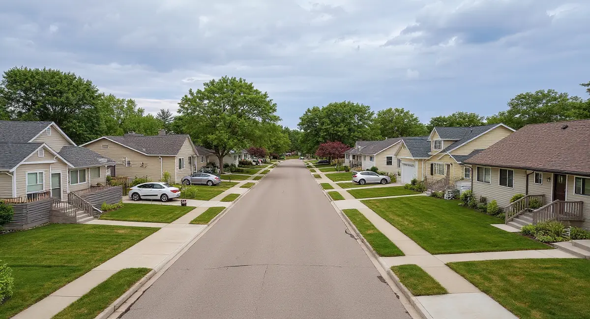
Ankeny's population grew from approximately 27,000 in 2000 to more than 75,000 by the mid-2020s, making it one of the fastest-growing cities in Iowa — but this growth created a city with two fundamentally different housing stocks sitting on identical glacial till. South Ankeny, roughly south of NE 36th Street and clustered around the Oralabor Road corridor, contains the city's original 1960s through 1980s residential development. North Ankeny, extending north of Interstate 35 through Prairie Trail and beyond, is almost entirely post-2005 construction. The soil does not change at this boundary; the foundation type, construction quality, and cumulative exposure duration do.
South Ankeny's 1960s through 1980s housing stock was built predominantly with concrete block basement walls — a construction method that is inherently vulnerable to the lateral pressure that glacial till generates. Block walls fail at mortar joints under horizontal force, producing the stair-step crack pattern that traces diagonally through the weakest path in the wall assembly. These homes have accumulated 40 to 60 years of hydrostatic pressure cycling on mortar joints that were not designed to resist the sustained forces that Polk County's glacial till produces. The older sections near Oralabor Road, around Ankeny's original downtown core, represent the highest cumulative-exposure housing in the city.
North Ankeny's post-2005 construction uses poured concrete basement walls with steel reinforcement — a significantly stronger system against lateral pressure, but not an immune one. Poured concrete resists the initial decades of hydrostatic pressure more effectively than block walls, delaying the onset of visible symptoms. However, glacial till pressure is persistent and cumulative. Homes built in 2005 to 2010 are now 16 to 21 years old, approaching the window where hairline horizontal cracks and basement moisture at the wall-floor joint begin to indicate that pressure is acting on the foundation. The mechanisms do not change; the timeline stretches.
Prairie Trail, one of Iowa's largest master-planned communities, occupies a substantial portion of north-central Ankeny and represents the city's newest residential construction. The development includes engineered stormwater management, detention basins, and planned grading that manages surface water more effectively than south Ankeny's older infrastructure. These surface drainage improvements reduce the frequency and duration of soil saturation at the foundation perimeter, slowing the rate at which hydrostatic pressure accumulates. The underlying glacial till remains unchanged beneath Prairie Trail's infrastructure — the same Dows Formation deposit that sits beneath every other Ankeny neighborhood.
Why do south Ankeny homes near Oralabor Road show stair-step cracking while north Ankeny homes near Prairie Trail show horizontal cracking instead?
What Foundation Problems Appear Most Often in Ankeny?
The dominant foundation problem in Ankeny is horizontal cracking and inward bowing of basement walls, driven by hydrostatic pressure from the glacial till pushing laterally against the wall — a pressure-driven failure mode rather than a settlement-driven one. In south Ankeny's block-wall homes, this pressure exploits mortar joints and produces stair-step cracking as the wall deflects inward. In north Ankeny's poured concrete homes, the pressure produces horizontal cracks at mid-wall height, typically 3 to 4 feet below grade where the combination of soil weight and water pressure reaches its maximum. The wall anchors and carbon fiber straps method pages cover the two primary stabilization approaches for bowed walls.
Basement moisture intrusion is the second most common problem, and in Ankeny's glacial till it is almost always a hydrostatic pressure symptom rather than a surface drainage problem. Water enters through the wall-floor joint, through cracks in the wall, and through porous block faces in older homes. The water is not running down the exterior wall surface from inadequate grading — it is being pushed through the concrete by pressure from the elevated water table pressing against the outside face. This distinction matters because exterior grading improvements, while helpful, do not address the hydrostatic mechanism. Interior drainage systems and sump pumps manage the water after it enters; exterior waterproofing and drainage tile manage it before.
Floor slab heaving occurs in Ankeny homes when the water table rises above the floor slab elevation, pushing upward against the concrete with enough force to crack and lift the slab. This is most common during the March-through-June peak moisture period and most visible in unfinished basements where the slab is exposed. Finished basements may conceal slab heaving until flooring materials buckle or crack. The sloping floors symptom page explains how to distinguish between settlement-driven floor slopes and pressure-driven slab heaving — the causes are different and the appropriate repairs are different.
Settlement-related symptoms — diagonal cracks, chimney separation, and differential floor slopes — do occur in Ankeny but are less common than in metros dominated by shrink-swell clay. When settlement does appear in Ankeny, it is typically caused by poorly compacted fill beneath footings in newer construction areas, or by localized soil erosion near drainage corridors like Fourmile Creek. Push piers and helical piers address settlement by transferring foundation loads to stable bearing strata below the glacial till.
When Is Foundation Risk Highest in Ankeny?
The peak risk period in Ankeny runs from March through June, when spring snowmelt from 26 inches of annual accumulation combines with the year's heaviest rainfall months to push the water table to its annual maximum — often within 2 to 3 feet of the surface. This four-month window generates the strongest hydrostatic pressure against basement walls, produces the most basement moisture intrusion, and is the period when existing horizontal cracks are most likely to extend or widen. Homeowners who notice new water stains, increased basement humidity, or fresh cracking during this period are seeing the direct effect of glacial till hydrostatic pressure at its seasonal peak.
Winter temperatures averaging 12 degrees Fahrenheit drive the frost line to 42 inches below grade — six inches deeper than Kansas City's 36-inch frost depth — creating a thicker zone of soil that undergoes freeze-thaw cycling against the foundation wall each winter. Ice lens formation within the glacial till produces localized heave forces that push against the wall at unpredictable points within the frost zone. Homes with footings at or near the 42-inch frost line experience the maximum frost heave potential, and older south Ankeny homes where footing depths may not meet current code requirements are particularly vulnerable to frost-related wall displacement.
A secondary risk window opens in October and November when pre-winter rainfall saturates the glacial till before freeze-up. Soil that enters winter fully saturated produces more aggressive frost heave because there is more water available to form ice lenses within the 42-inch frost zone. This creates a compounding cycle: fall saturation leads to winter frost damage, which creates new pathways for spring moisture entry, which accelerates the hydrostatic pressure damage during the March-through-June peak. Monitoring cracks quarterly — with measurements in April, July, October, and January — captures all four phases of this annual cycle.
July through September offers the lowest foundation stress and the best conditions for repair work in most years. Reduced rainfall, warmer soil temperatures, and evaporation allow the water table to drop and hydrostatic pressure to decrease. Excavation is easier in drier soil, concrete cure times are optimal, and pier installation encounters less groundwater interference. Homeowners planning foundation work should schedule evaluations in spring when symptoms are most visible and schedule the repair itself for the summer-to-early-fall construction window when conditions favor the work.
What Can Ankeny Homeowners Do to Manage Foundation Risk?
Managing surface water away from the foundation perimeter is the single highest-leverage action for Ankeny homeowners, because it reduces the amount of water reaching the glacial till adjacent to the foundation and slows the rate at which hydrostatic pressure builds. Positive grading at a minimum 6-inch drop over 10 feet away from the foundation prevents surface water from pooling against the wall. Gutters and downspouts with extensions carrying discharge at least 6 feet from the foundation reduce concentrated water infiltration at the perimeter. These measures do not eliminate hydrostatic pressure from the regional water table, but they reduce the locally elevated pressure caused by surface water infiltration immediately adjacent to the home.
Interior sump pump systems with battery backup are particularly important in Ankeny because the water table routinely rises above floor slab elevations during the March-through-June peak. A sump system does not prevent hydrostatic pressure from acting on the walls, but it manages the water that enters through the wall-floor joint and reduces the duration of standing water against the slab. Battery backup is essential because severe spring storms can knock out power precisely when the sump pump is most needed. For the detailed science behind hydrostatic pressure and how it differs from the shrink-swell mechanism, see the foundation science page.
Quarterly crack monitoring — placing pencil marks or adhesive crack gauges across existing cracks and measuring width changes in April, July, October, and January — provides data that distinguishes active pressure damage from historical, stable cracks. A crack that widens in spring and narrows in summer is responding to seasonal hydrostatic pressure cycles. A crack that widens in every measurement is experiencing progressive structural displacement. The distinction determines whether monitoring is sufficient or whether structural intervention is warranted. The homeowner's guide provides a monitoring checklist and crack measurement protocol.
- Ankeny sits entirely on Dows Formation glacial till with a water table that rises to 2 to 3 feet below the surface during March through June, generating persistent hydrostatic pressure against every basement wall in the city.
- South Ankeny's 1960s-1980s concrete block basements are in the peak cumulative damage window at 40 to 60 years old, while Prairie Trail's post-2005 poured concrete homes are entering their first symptom window at 15 to 20 years.
- Fourmile Creek creates a drainage corridor in eastern Ankeny where the water table stays elevated into July — extending the hydrostatic pressure season beyond what upland neighborhoods experience.
- Quarterly crack monitoring in April, July, October, and January captures all four phases of the annual pressure cycle and distinguishes seasonal movement from progressive structural displacement.
Ankeny Foundation Questions
Why do older south Ankeny homes near Oralabor Road face different foundation risks than newer north Ankeny homes?
South Ankeny's housing stock from the 1960s through 1980s was built predominantly with concrete block basement walls, which are inherently weaker against lateral pressure than poured concrete. These homes have endured 40 to 60 years of cumulative hydrostatic pressure from the Polk County glacial till — a duration that places them well past the threshold where block wall mortar joints begin to fail. North Ankeny homes built after 2005 use poured concrete walls with modern reinforcement standards and have accumulated less than 20 years of glacial till pressure. The soil beneath both areas is identical Dows Formation glacial till, but the foundation type and exposure duration create a measurably different risk profile.
Does Prairie Trail's master-planned development reduce foundation risk compared to older Ankeny neighborhoods?
Prairie Trail benefits from modern stormwater management infrastructure, engineered grading, and poured concrete foundations built to current Iowa building code — all of which slow the progression of glacial till damage compared to the 1960s-era construction in south Ankeny. However, Prairie Trail sits on the same Dows Formation glacial till that underlies the entire city. The glacial till's low permeability traps water regardless of surface drainage design, meaning hydrostatic pressure will eventually act on these foundations. Homes built in Prairie Trail's earliest phases around 2008 to 2012 are now 14 to 18 years old and approaching the age window when first-generation symptoms may become visible.
How does Fourmile Creek affect foundation risk in eastern Ankeny?
Fourmile Creek runs through eastern Ankeny and creates a drainage corridor where the water table sits higher than surrounding upland areas for longer periods after rainfall and snowmelt. Homes within a quarter-mile of the creek corridor experience extended hydrostatic pressure seasons — the water table may remain elevated into July rather than dropping in June as it does on higher ground. The creek also collects runoff from a wide drainage basin, meaning homes near Fourmile Creek can experience saturated soil conditions even during rainfall events that do not saturate upland neighborhoods to the west.
What foundation symptoms appear first in Ankeny homes built on glacial till?
The most common first symptom in Ankeny is basement wall bowing or horizontal cracking at mid-wall height, driven by hydrostatic pressure from the glacial till pushing laterally against the wall. This differs from settlement-driven foundation problems where cracks and floor slopes appear first. In Ankeny's block-wall homes in south Ankeny, stair-step cracking through mortar joints typically precedes visible wall bowing. In north Ankeny's poured concrete homes, hairline horizontal cracks and basement moisture or efflorescence at the wall-floor joint are often the earliest indicators that hydrostatic pressure is acting on the foundation.
When is the best time to inspect an Ankeny foundation for damage?
The March through June window is both the highest-risk period and the most revealing inspection window for Ankeny foundations. Spring snowmelt combined with peak rainfall months pushes the water table to its annual maximum, generating the strongest hydrostatic pressure against basement walls. Any existing cracks will be at their widest, wall bowing will be at its most measurable, and basement moisture intrusion will be at its most visible during this period. A secondary inspection in late September or October, when the soil has dried to its annual minimum, reveals whether cracks and bowing are seasonal or have produced permanent displacement.